Beautiful fall day. October 21st, 2017 Mostly sunny with temps with a hi
of 84.
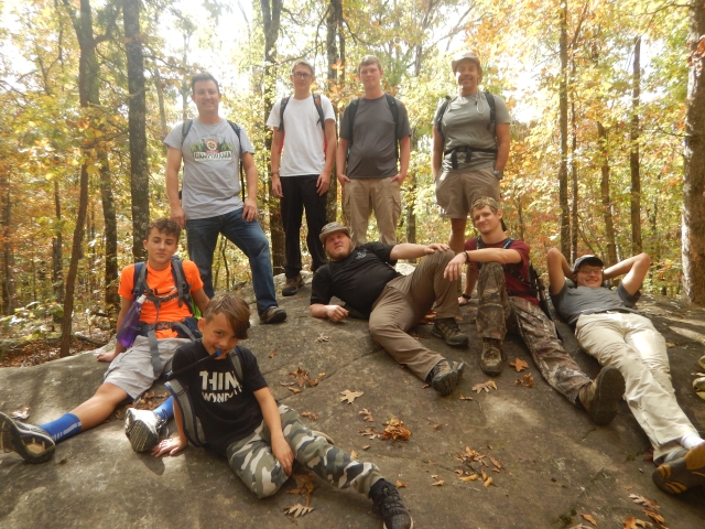
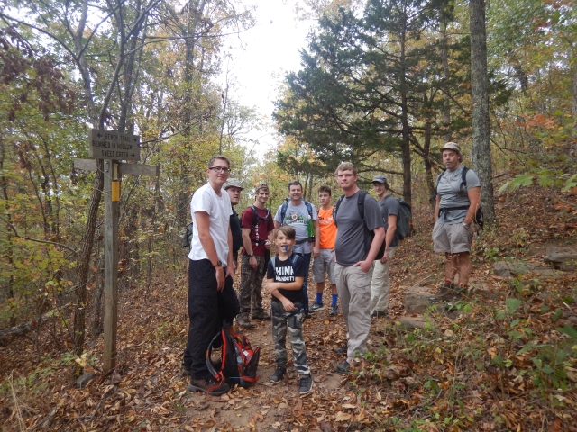
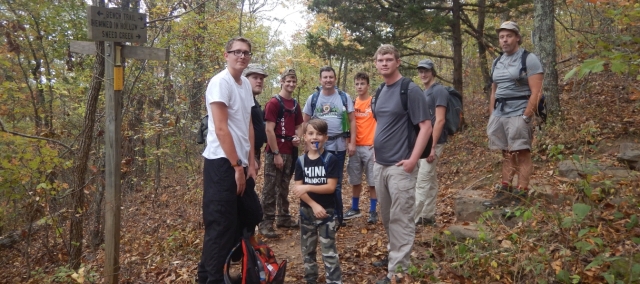
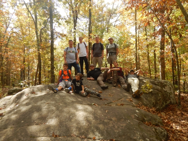
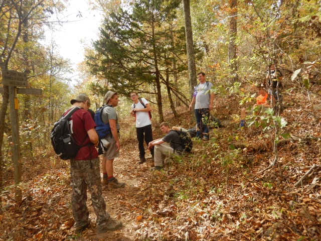
Ten Rangers and Friends of Rangers headed down to Compton Trailhead near
Compton, Arkansas.
We left my house in Ozark at 8:10 with some car switching due to a flat
tire. Made good time down to the Compton trail head. Click on a picture
for a larger view.
A zip file of all these pictures.
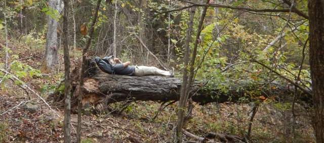
We met Keith Gray and his sons Collin and Conner. They had camped just down
from this trail head about 1000 feet. Keith said they had to move one time
because the park warden came walking by and told them they needed to be 100
feet off trail and a 1000 feet from the parking lot. (rogue fire rings were
there yet they moved further into the woods.) They were putting gear into
the car as we arrived.
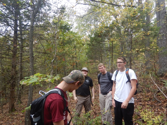
We were day packed and ready to go. Lots of folks showing up that had no
maps nor a clue on this trail. I was walking around and they hollered come
over here. I walked over and out came the questions. How far? Is the
trail marked? Took them over to the trail head sign and pointed out the two
trails that leave from this parking lot. Explained the difficulty of the
trail..2200 feet down to about 1100 feet over to the falls. Needed water.
Said folks you can download a free app called ViewRanger and I have most of
these trails on there and you will never be lost again...just put your phone
on airplane mode so it wont' run your battery down looking for cell service
and it works as well as my $500 gps and it's free and you can edit your
trails on your pc and then send them to your phone.
What's funny! They asked so which trail do we take. I said there are two
trails here, Take that trail down to Compton. They left. A minute later I
looked up and over and realized I sent them down the wrong trail...sent a
boy runner to tell them I made a mistake...GRIN! After apologizing they
went on their way and we did to. Note to self. These two trails are only
60 feet apart...double check to make sure your looking at the right
trail...they look the same....GRIN!
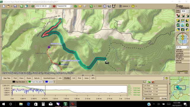
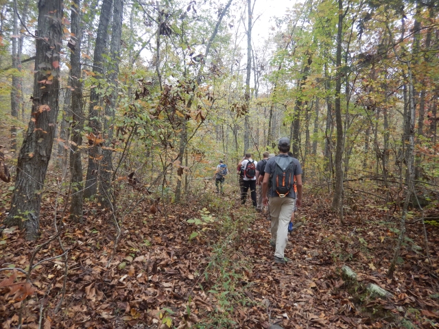
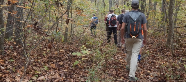
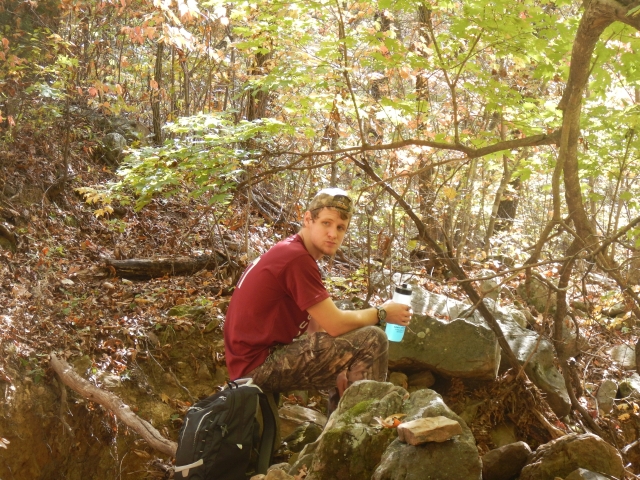
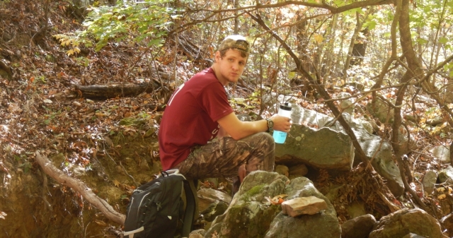
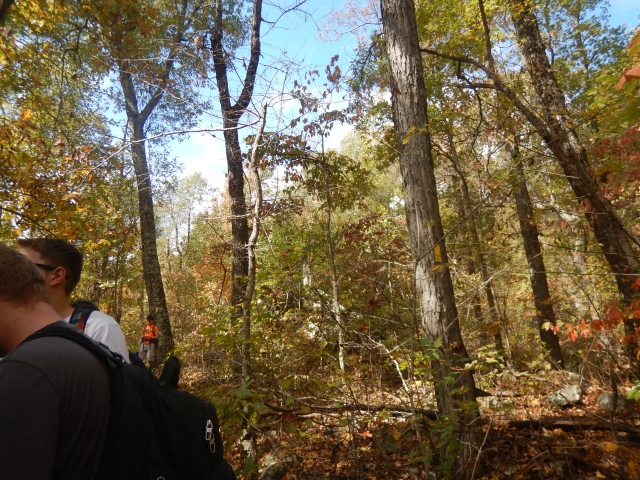
Our group of ten were doing a woods walk bench trail. Going from 2200 down
to 1800 and then following the Bench Trail East that follows the contour
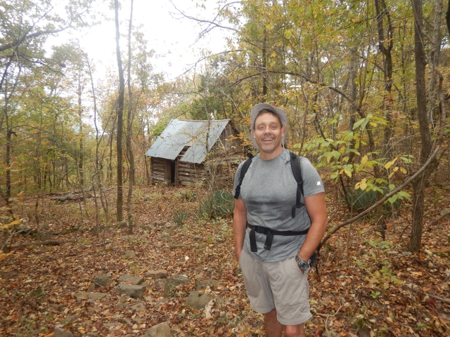
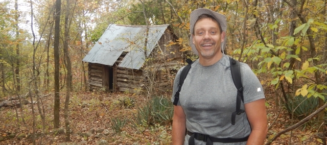
line of 1800 feet of elevation about 3 miles east. We passed by the cabin
and relived previous camp outs at that location.
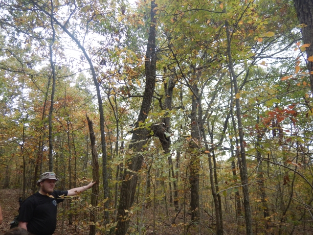
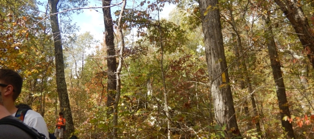
Soon we were at the point from last year we bushwhacked up from the top of
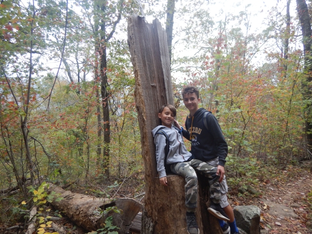
Hemmed in Hallow Falls and met the bench trail. We found a tree that looks
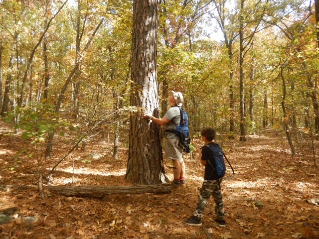
like Alien there. We were now on NEW TO ME TRAIL.
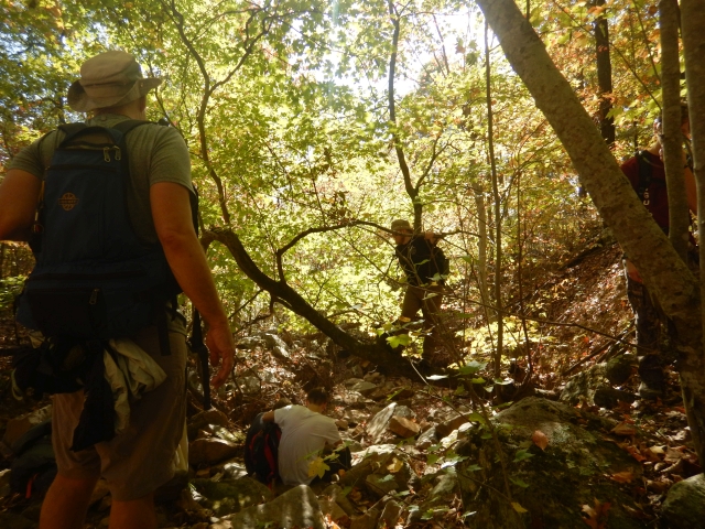
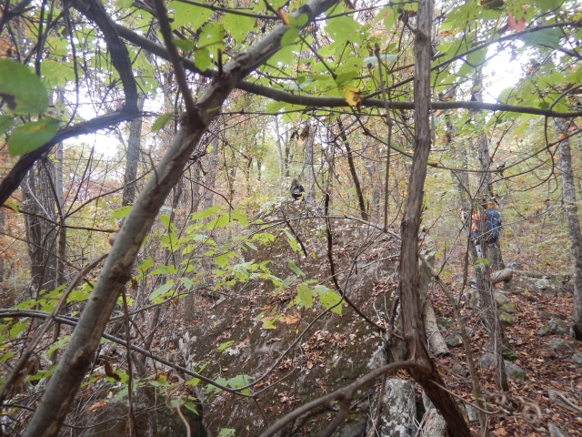
The new part of this bench trail was a nice easy stroll through the woods.
The trail was pretty clear and wide. We passed by several gullies and only
2 places were we could have used purifiers to get a little water from
them..it's been really dry this fall.
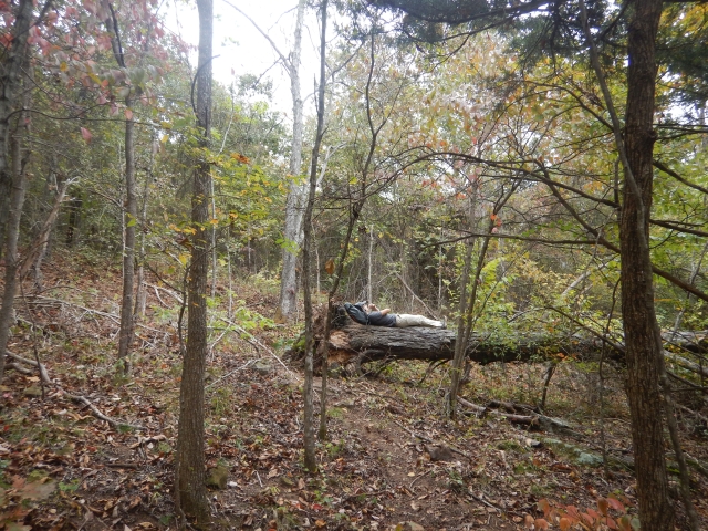
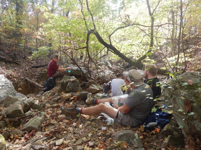
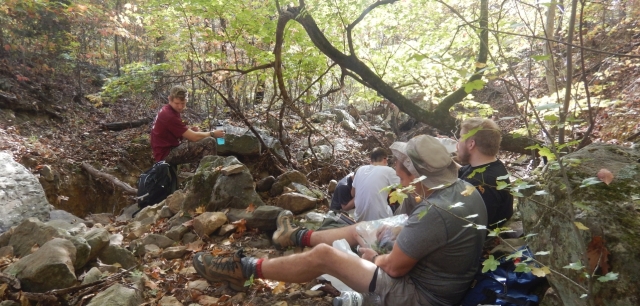
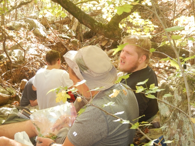
We made a early lunch at a big ravine and then walked another 500 feet to
smooth rock a park like place that would have made a great lunch spot.
Then another 400 feet and we were at the Bench Trail and the Camp Orr
trail. We met a couple eating lunch there. They had backpacked a loop from
Compton down to Kyle's 1200 feet down then up this trail 800 up feet back
over and up 400 feet to Compton. 2 nights. Ten mile loop.
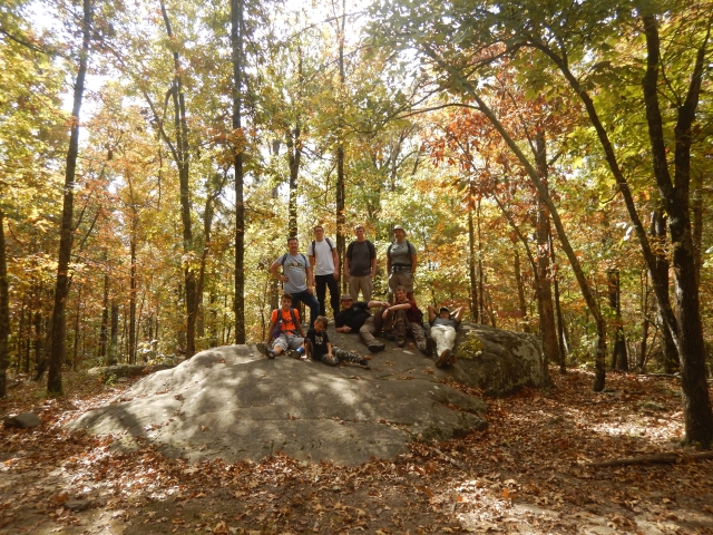
So we made the end point of our woods hike and returned back to the trail
head early. We enjoyed a easy peaceful walk through the woods. It's good to
explore these trails without backpacks on before you bring Rangers up and
down them. This was a search and find trip.
We stopped up at the Compton Arkansas outfitter store and had ice-cream and
snacks and bought a few items there. Returned back to Ozark about 4:45
p.m..
These young men are fun to be around. Try to model good behavior and
methods and yet have some good ole laughter along the way as we go.