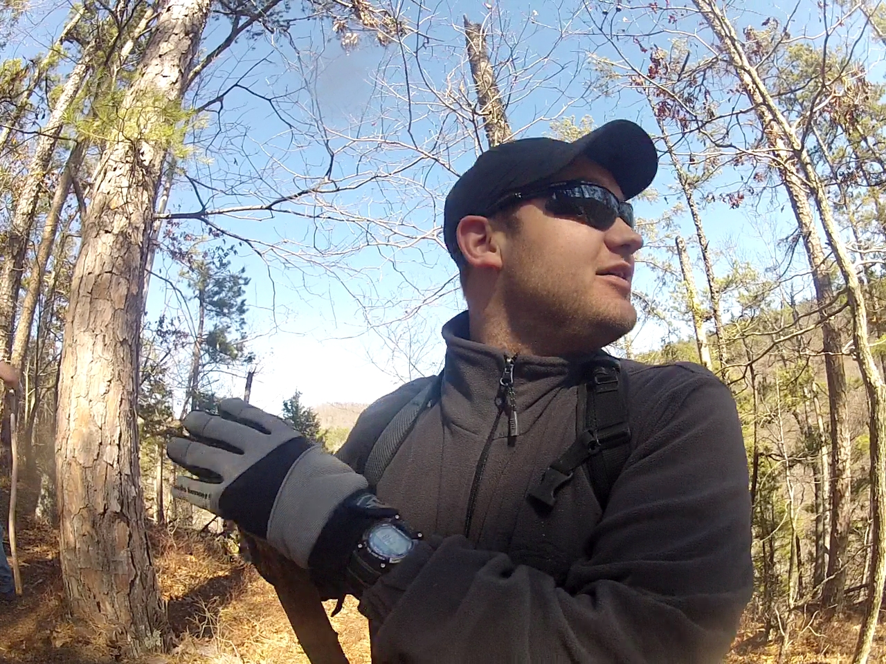
Rangers and Friends of Rangers head out on a Truck Campout and day hike
February 17th, 2013. Justin Fisher was our Guide on this trip.
GREAT JOB JUSTIN!
Temperatures were a low 28 degrees Saturday night and the Day we got a high
of 60 with some gusty winds.
We walked 10.2 miles. From 9:15 a.m. to 5:45pm. 1200 feet incline
and 600 foot declines were two major stretches.
CLICK ON A PICTURE FOR A LARGER VIEW.
Justin's report on the trip.
Video interview on Youtube
at morning basecamp. 6 minutes.
Tall Trail Tales with Rob!
|
|

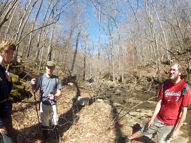
The group of 13 from various churches in the Springfield - Branson areas joined
in an expedition to the Richland Creek Area. After a day of Ranger Derby
(pinewood derby) Crafting from 7:00 am to 5:00 pm we left immediately and met a
group at my house in Ozark, MO. Left the house by 6pm and then traveled
2.5 hours to Richland Creek Campground. This is a remote area in Arkansas.
When you leave the asphalt at Lurton. It's another 30 minutes to the
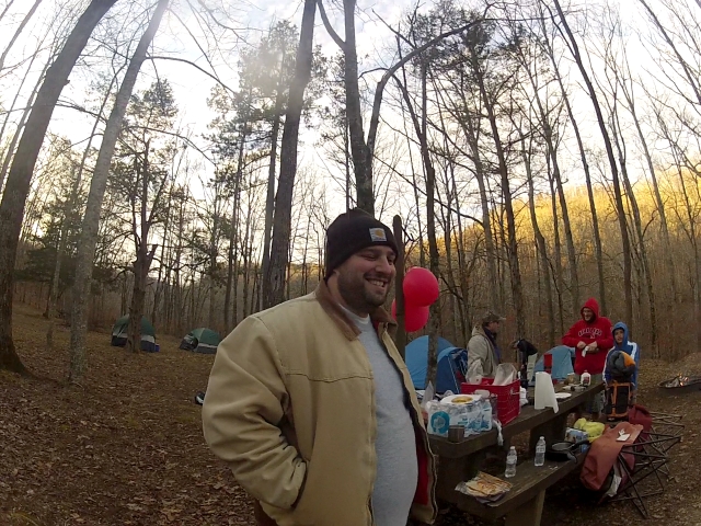
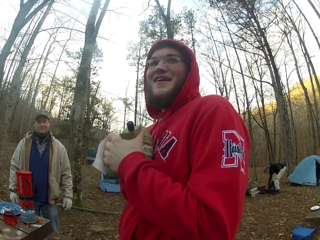
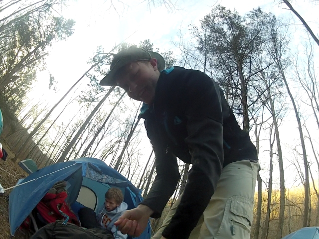
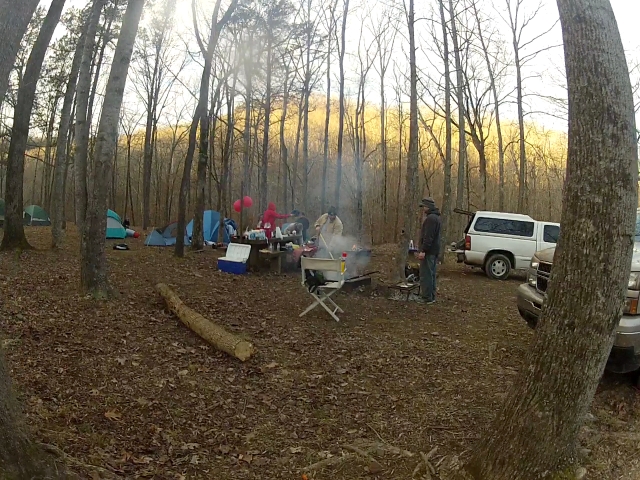
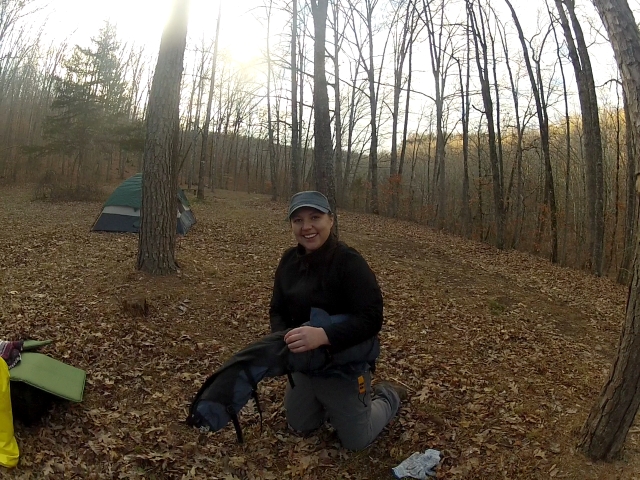
campground on dirt roads. Arrived at base camp and Justin Fisher and his
wife Kassie and Matt and Kendra had a fire going in camp was in full swing.
We enjoyed a time around the campfires and a nice 28 degree evening with warming
temps through the early morning hours of 38 or so. After breakfast and
time around the campfires we broke camp and headed out to the Cemetery about 6
miles away from Richland Creek.
The drive to the cemetery was a rough road. My 2 wheel drive truck did
ok but I wouldn't have driven down it with out 2 wheel drive trucks with me.
GRIN! The road was so rough we elected to not drop a vehicle at the trail
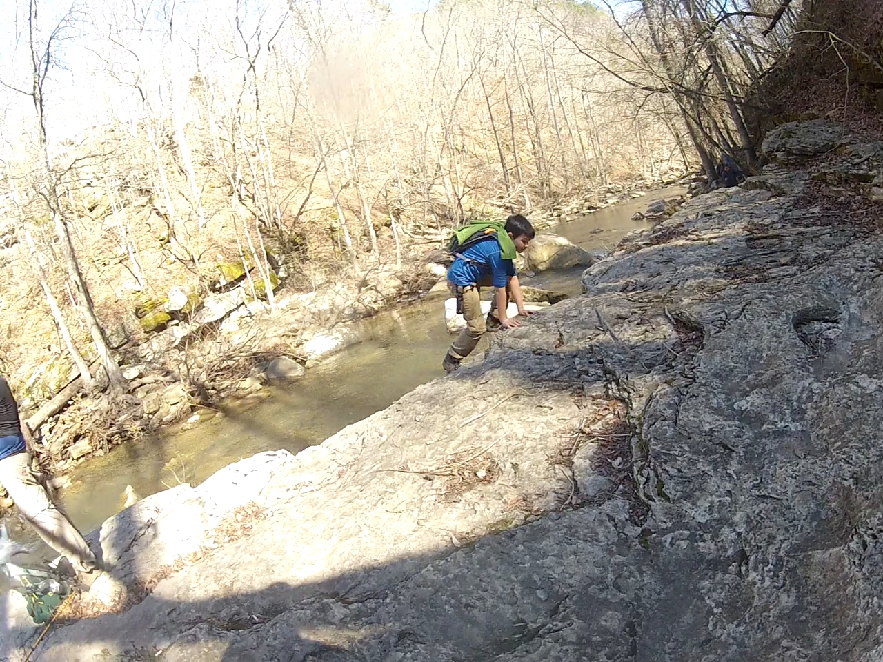
head at the other end and just walk the extra 1.5 miles on the road. The first
part of the journey was a walk in the woods with an occasional little trickle
creek. We followed a old logging road but the trees were down and
most of the time the trail zigged and zagged back and forth over this road
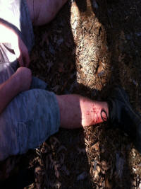
around down trees. Briars were a factor and it wasn't long before we all
had some blood on us.
Soon we came to our first bushwhack off of the road to look for the
millstone. Dropped 200 feet.. We had a GPS location but after about
45 minutes of looking part of the group just hung out as this was extreme
bushwhacking and Justin and a few of the boys found the stones. The rest
of us settled for a over look over the creek waiting for the others to return.
Justin has the correct GPS coordinates and will get them from him later.
After about a hour we then went back up the 200 foot climb to the trail
heading south towards Twin Falls. Passing several neat little trickles
along the way. We followed the trail a bit to long and ended up on the top
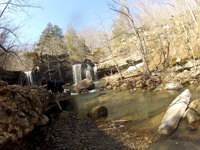
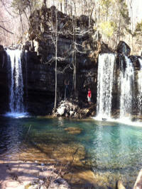
of Twin falls and then bushwhacked down 600 feet to the Creek. I took a 6'
long slide down a rock and landed quickly in the creek bed. A good laugh
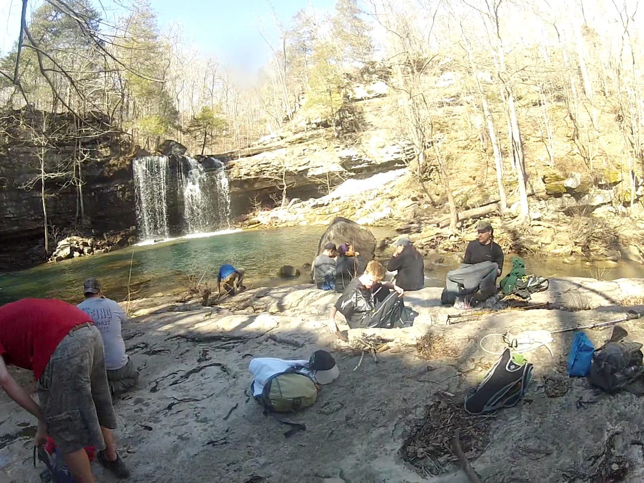
and up and going. BE CAREFUL FOLKS...that was slick. Soon we were at
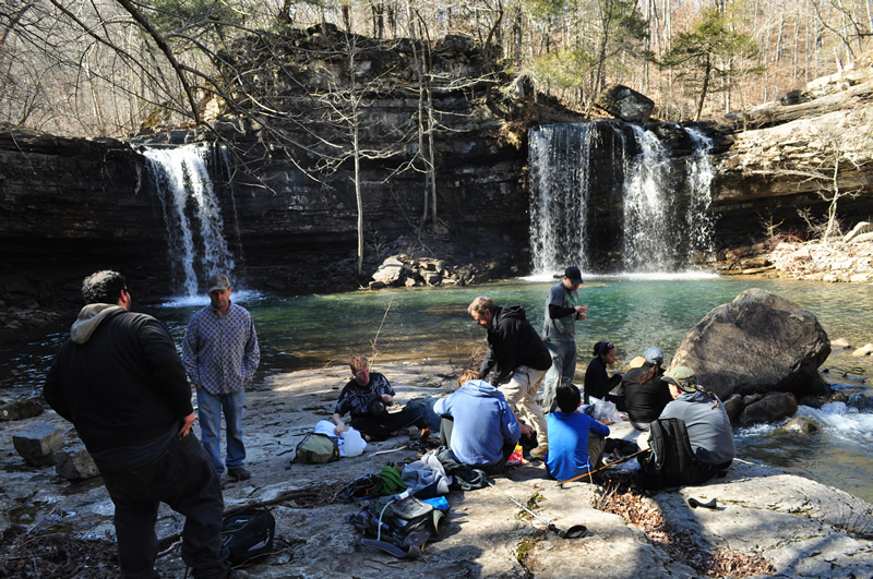
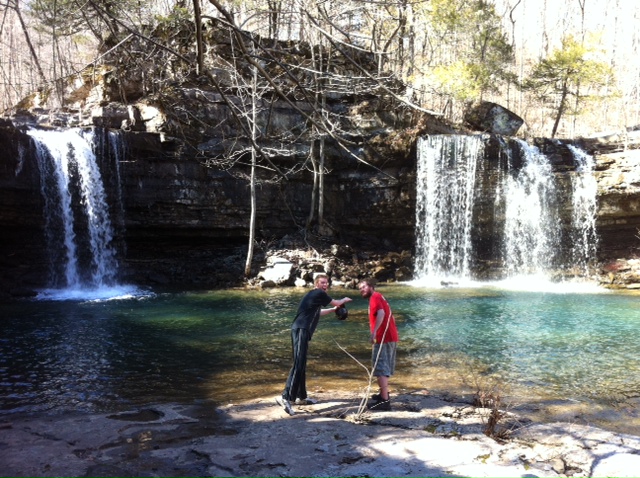
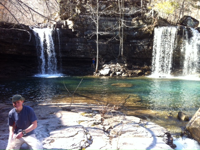
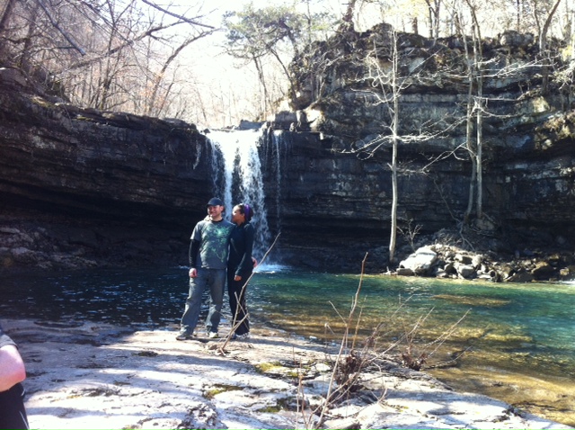
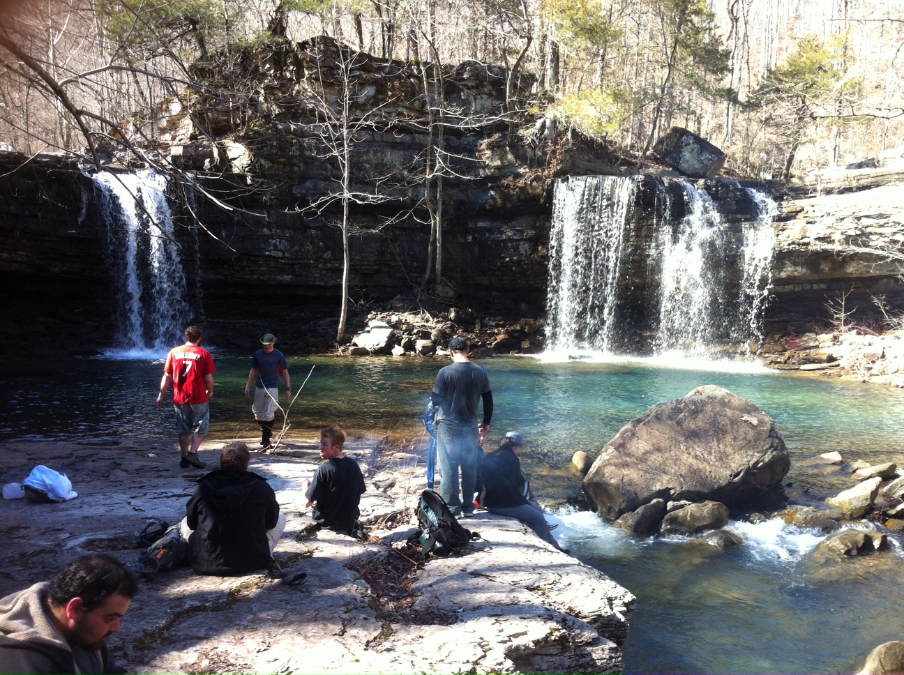
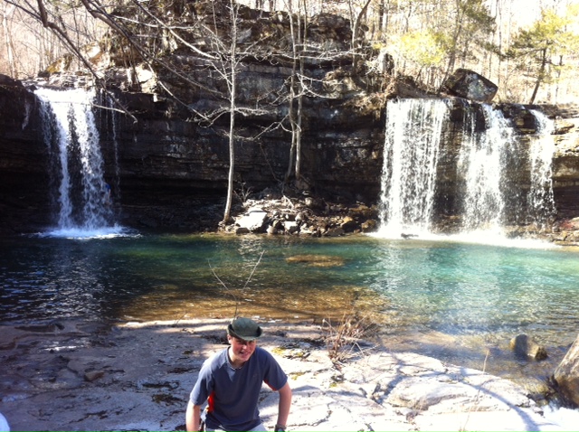
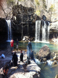
the Twin Falls of Devils Fork at Richland Creek. A awesome place to visit.
The trip in is hard from any direction and we took a new one coming in.
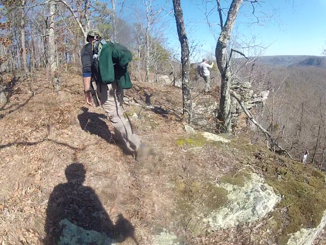
After lunch we realized time was slipping we headed back NW towards the
Sandstone Castles. It's up... Did I say up? Did I get it across that
we went up? 1200 feet up. It was alot of bushwhacking UP! Soon
after about a mile of up we were on top of the world walking towards Sandstone
castle.
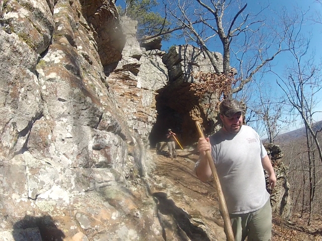
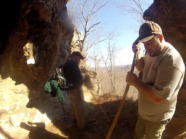
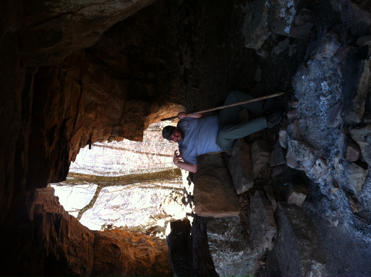
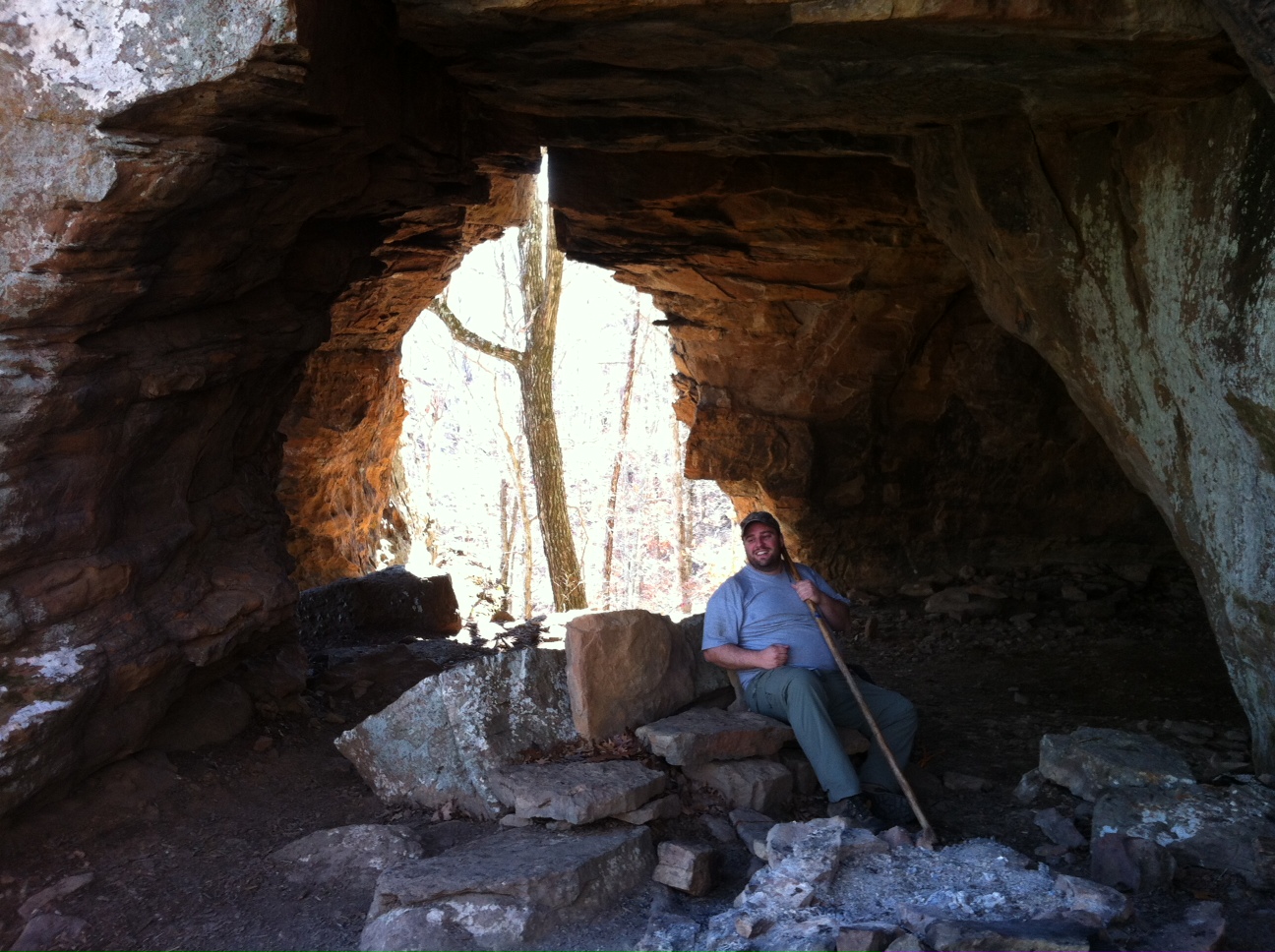
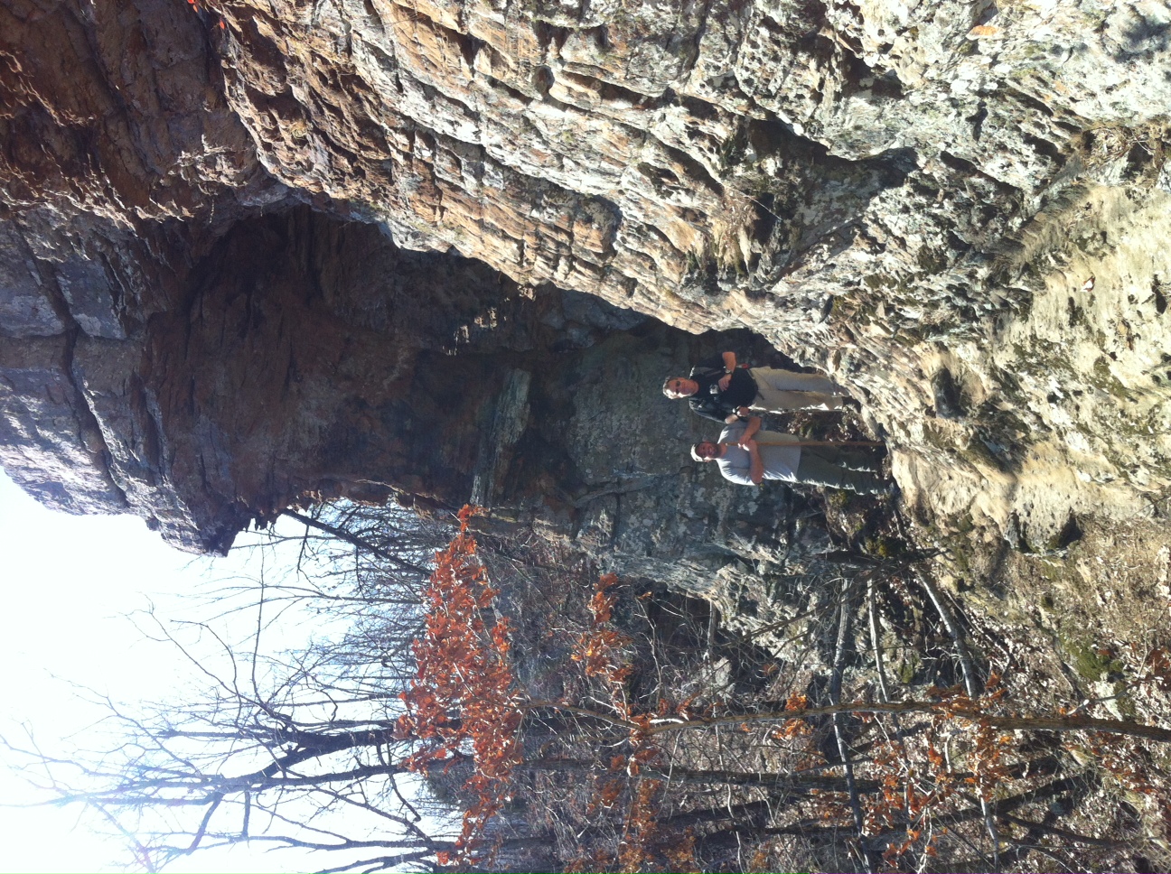
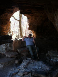
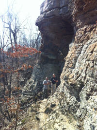
At the Sandstone Castles. It's cool Up on top of this Boston mountain
is a cliff face of sandstone columns and short caves with arches and formations.
Much like Pedestal rocks. We explored around there for about 45 minutes
and then hiked on out past some rock walls and old logging roads covered by
falling trees and much of the trail was barely discernable. At about 5:30
we came out to the dirt road and walked the rest of the 1.5 miles to the
cemetery.
This was probably one of the hardest day hikes I have taken. It was not the
longest but it was the hardest. I even took Monday off work because I was
beat! 3 days later! I am ready to go again! Thanks again
Justin for a great lead on this trip.
Mark Jones
|
|
|
|
|

|
|
|
|
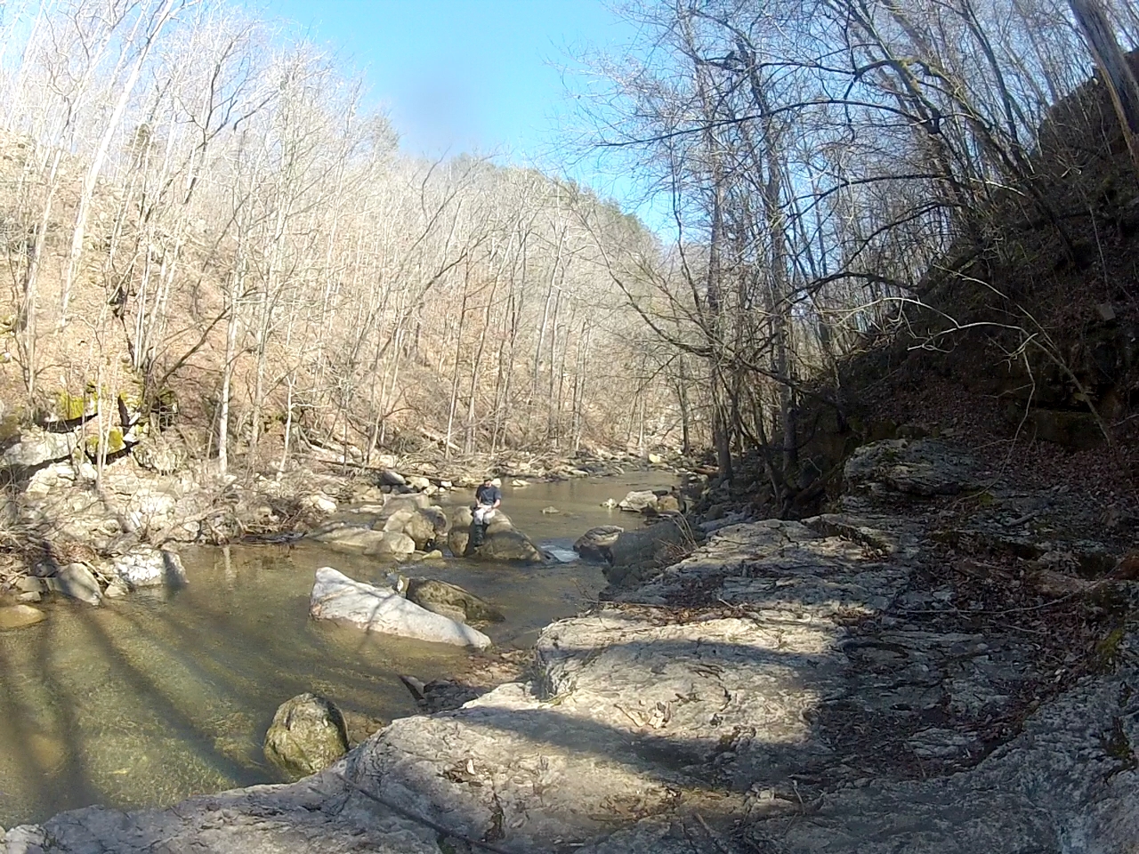
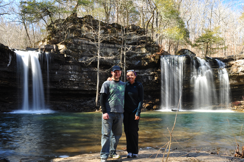
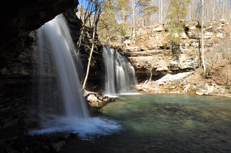
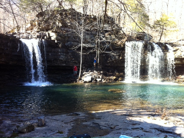
Twin Falls of Devils Creek |
|
|
|
|
|
|
|
|
|
|
|
|
|
|

|
|
|
|
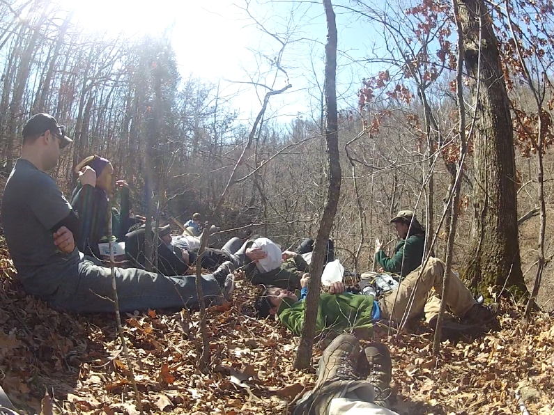
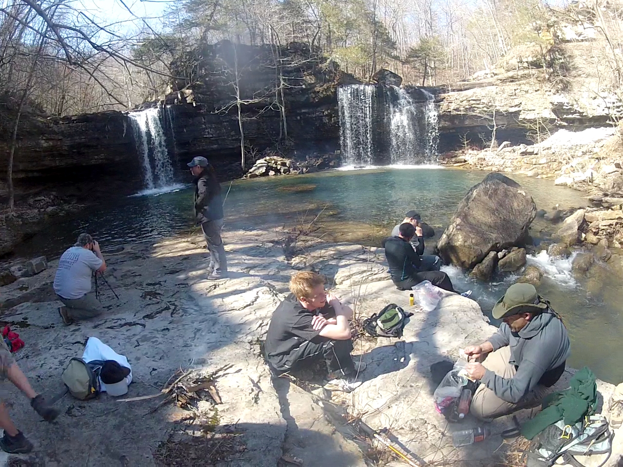
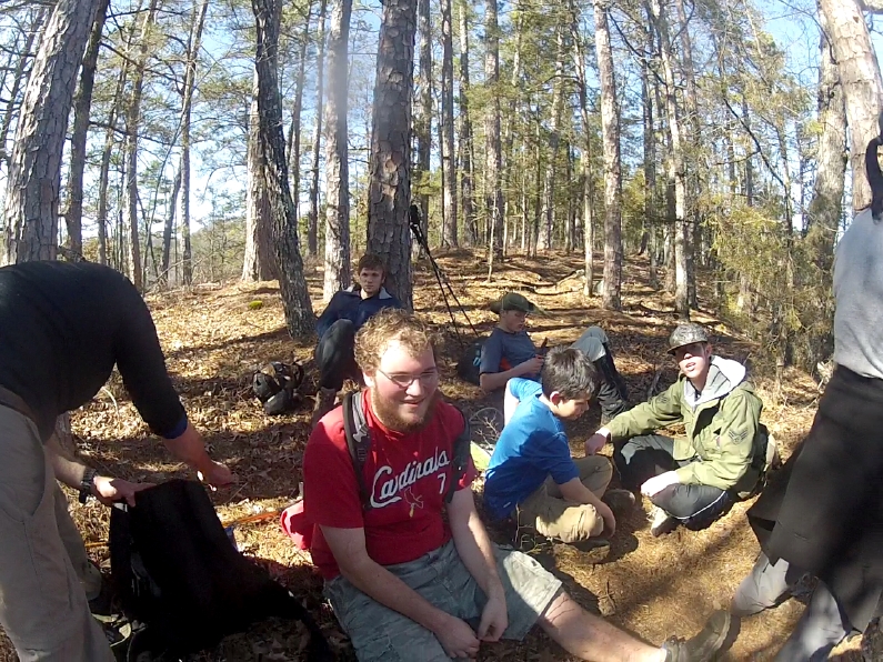
Group Resting at Twin Falls |
|
|
|
|
|
|
|
|
|
|
|
|
|
|
|
|
|
|
|

|
|
|
|
Them Bears was going to eat me! |
|
|
|
|
|
|
|
|
|
|
|
|
|
|
|
|
|

|
|
|
|
Josh are you sure you didn't scream like a girl? YUP he was sure. |
|
|
|
|
|
|
|
|
|
|
|
|
|
|
|
|
|
|
|
|
|
|
|
|
|
|
|
|
|
|
|
|
|
|
|

|
|
|
|
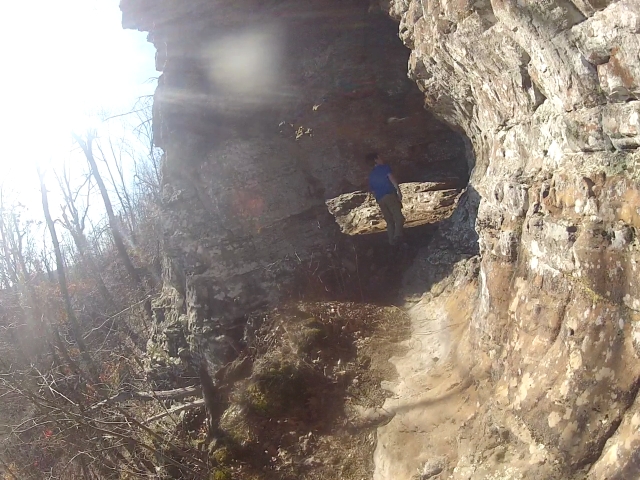
Light at the end of the tunnel! |
|
|
|
|
|
|
|
|
|
|
|

|
|
|
|
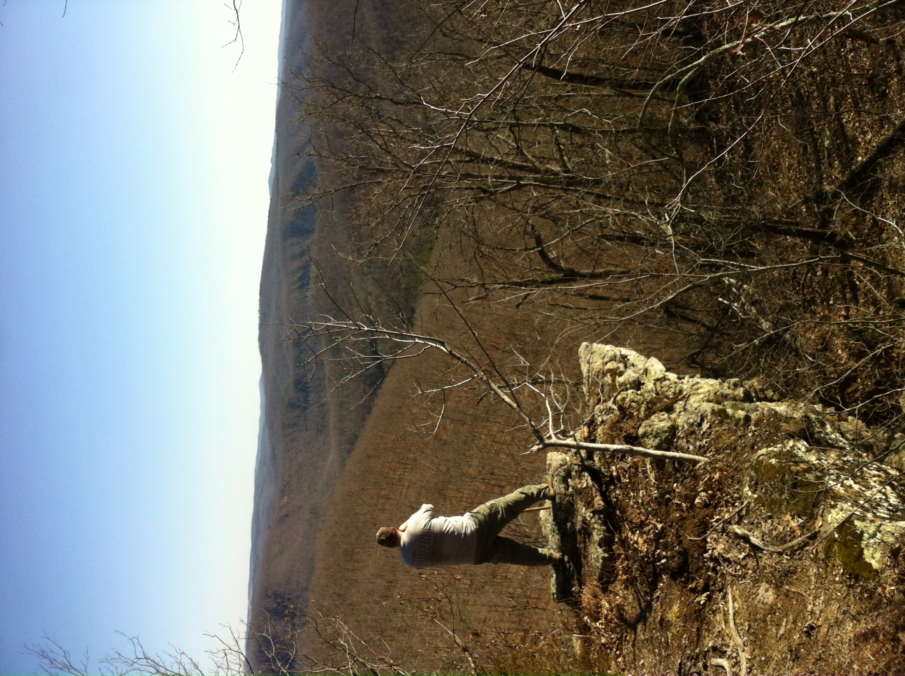
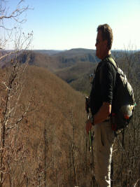
2200 feet up what a view! |
|
|
|
|
|
|
|
|
|
|

|
|
|
|
How do we get there from here? |
|
|
|
|
|
|
|
|
|
|
|

|
|
|
|
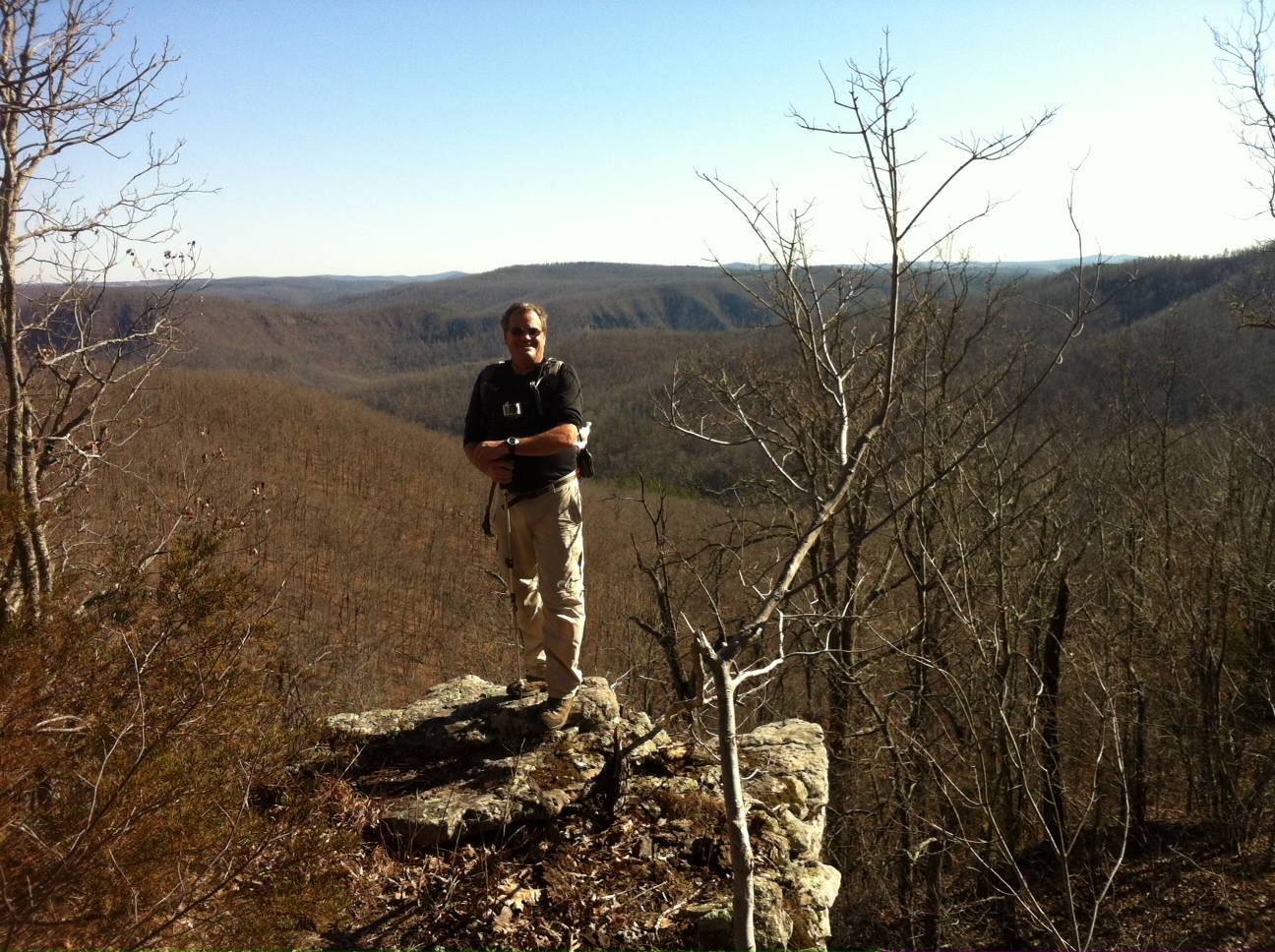
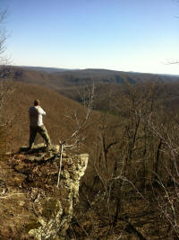
After a 1200 foot rise you would want to look over it too! |
|
|
|
|
|
|
|
|
|
|
|
|
|
|

|
|
|
|
Don't tell them there is another 400 feet up! |
|
|
|
|
|
|
|
|
|

|
|
|
|
Telling you what you missed out on! |
|
|
|
|
|
|
|
|
|
|
|

|
|
|
|
Jimmy..so what did you think of that climb? |
|
|
|
|
|
|
|
|
|
|

|
|
|
|
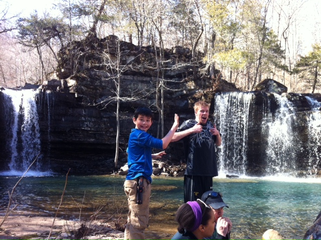
Justin takes great pictures |
|
|
|
|
|
|
|
|
|
|
|
|
|
|
|
|
|
|
|
|
|
|
|
|

|
|
|
|
Another look at the map with flags about the trip. |
|
|
|
|
|
|
|
|
|
Justin's report on the trip.
|
|
|
|
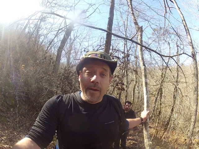
Troll who goes there!
|
|

|
|
Twin Falls
|
|
|
|
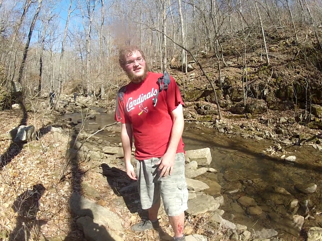
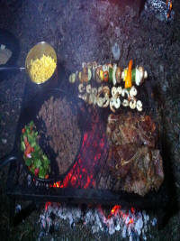
YUM
|
|

|
|
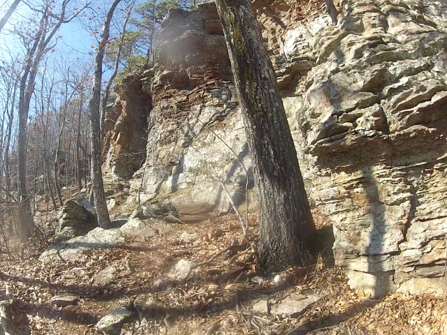
Sandstone Castles
|
|
|
|
|
|
|
|
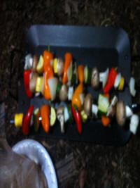
Skewers of Yum!
|
|
|
|
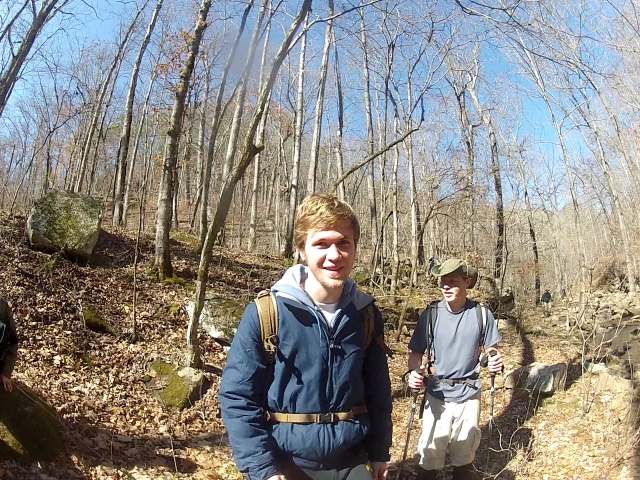
View Boy!
|
|
|
|
|
|
|
|
Pretty Site
|
|
|
|
|
|
|
|
|
|
Belly Beans
|
|
|
|
|
Briar Evidences
|
|
|
|
Cool Place Sandstone Castles
|
|
|
|
You have to see this place.
|
|
|